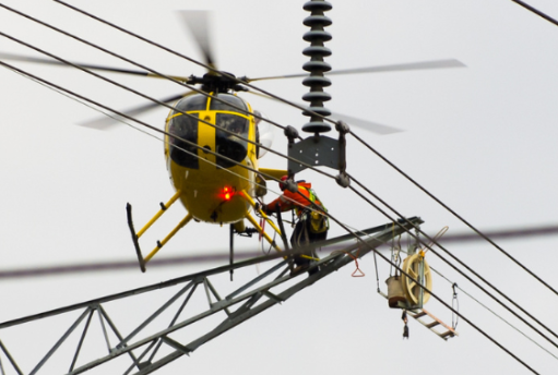
Why Photos Are Essential For Excavation Monitoring

πŸ“ΈπŸš§ With photo documentation, you can develop a foolproof system for compliance, verification, and better data collection.

Imagine this: as a manager, you can photograph the excavation site, capturing essential details like the location of underground utilities, soil conditions, and potential hazards. This way, you have a visual record of the excavation process from start to finish.

You can document the use of proper shoring or trench boxes, the implementation of safety barriers, and the adherence to safe digging practices. These photos serve as undeniable proof that safety protocols were followed.

You can also take photos of the completed excavation, ensuring that the area has been properly backfilled, utilities have been protected, and the site is safe for workers.

Job Site Photos Viewer
DescriptionCategoryGPSTimestampPhoto*
Job 55A315BeforeπŸ“Nov 11, 2025
08:01 AM
πŸ”
Job 55A315BeforeπŸ“Nov 11, 2025
01:45 PM
πŸ”
Job 55A315AfterπŸ“Nov 11, 2025
05:47PM
πŸ”

Say goodbye to looking for photos.

Instantly upload GPS timestamp photos, so office staff don’t have to spend time finding them.

  • Fill Job Info Automatically
  • Upload Instantly
  • Simple to Use πŸ™‚

What customers are saying…

Senior Estimator

“The ease of use between mobile devices, and our field office eliminated travel time, organized our closeout documents, and kept our crews focused.”

Project Manager, Major Projects

“I highly recommend for your electrical utility maintenance programs and projects.”

Accounts Manager, Utility Contractor

“…every photo is automatically stamped with job info and seamlessly uploaded into our database, increasing our efficiency.”